Explore Colorado's Regions
Charming downtown National Historic Districts, one-of-a-kind architecture, dining and shopping, to a wide variety of activities and unique lodging opportunities for the family or romantic couple. ColoradoInfo is here to help you find everything you need to know about your next visit.
Learn More
Colorado Event Calendar
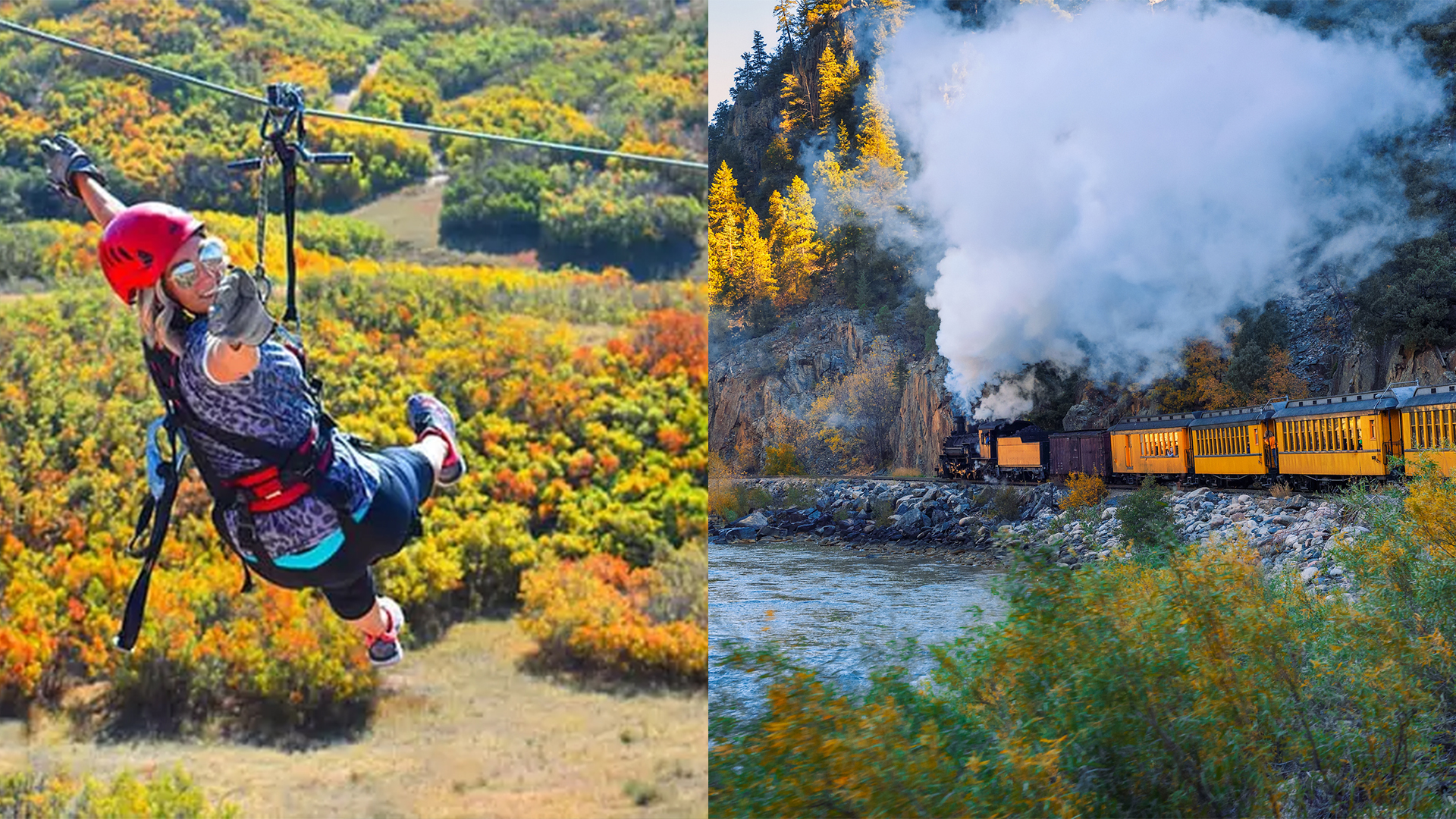
Experience unrivaled outdoor concert venues, train rides, wine and film festivals and much more!
Colorado Travel Blog
Get trip ideas, family-friendly options, and highlights of some of the best events Colorado has to offer.

Colorado Destinations
Colorado's cities and towns are as diverse and beautiful as it's landscape.

Royal Gorge Rafting & Zip Line Tours
Colorado’s #1 in Royal Gorge Rafting, Zipline Tours, Vacation Rentals & White Water Bar & Grill.

Arapahoe Basin
Come enjoy our second favorite season! Find a new kind of line on the highest Via Ferrata in North America, disc golf off-piste or tree runs on our self guided Aerial Adventure park.

St. Moritz Lodge & Condominiums
Choose from a variety of accommodations at our friendly, European-style lodge that fits your comfort level and budget

Royal Gorge Rafting & Zip Line Tours
Colorado’s #1 in Royal Gorge Rafting, Zipline Tours, Vacation Rentals & White Water Bar & Grill.

FREE Royal Gorge Bridge Tickets
Get Free Bridge and Park tickets when you purchase a Royal Gorge Loop jeep tour through Colorado Jeep Tours

Vail's Mountain Haus
Nestled along Gore Creek in the heart of Vail Village, offering accommodations only steps from the Vail Mountain.
December 1st
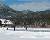
Colorado Winter Non-Skier GuideWinter in Colorado is not just for skiers and riders. This non-skier guide is a long winter bucket list and includes winter fun not to be missed. Whether you are
July 3rd
Colorado Adventure PackagesAdventure Packages What the heck is an adventure package? Colorado activity outfitters have realized that their guests aren’t just vacationing