Basalt Trails that Connect the Valley
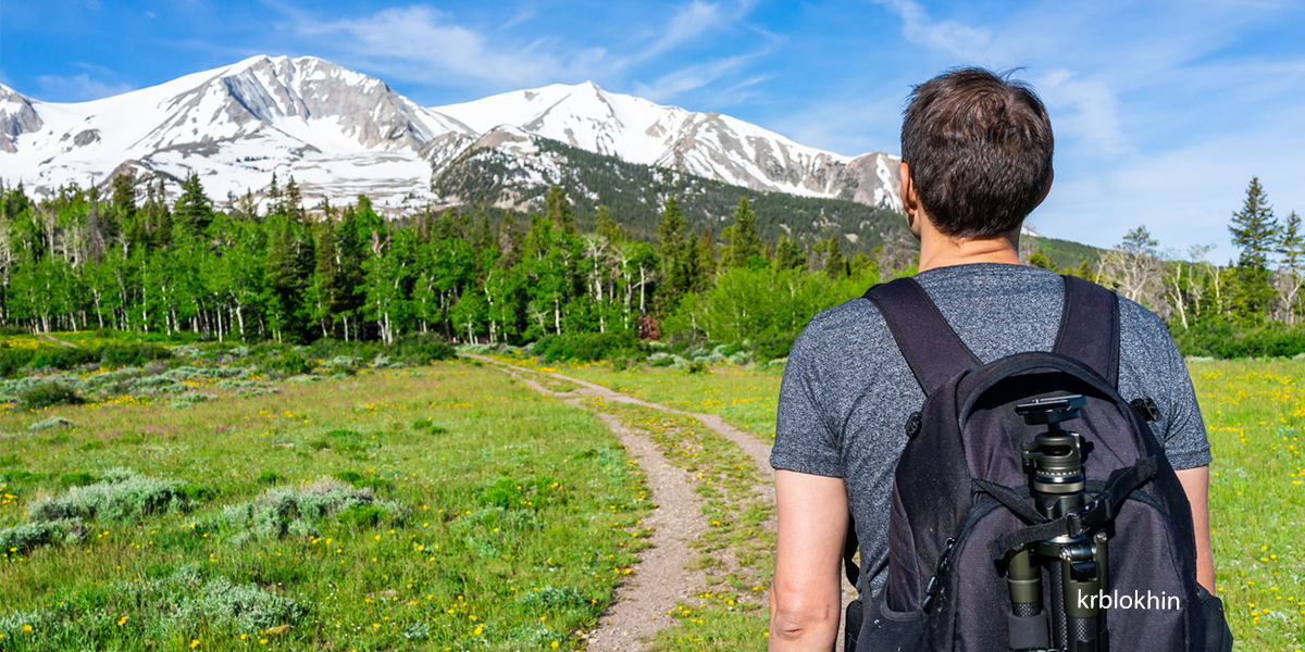
Basalt Trails for All Types and Connections
A sampling of popular Basalt trails for skill levels from beginner to advanced on pavement and dirt. Quickly glance through Basalt's favorite trails to find something suitable for your recreation style. Distance and difficulty are noted, along with types of recreation; most are dog-friendly.
Arbaney Kittle Trail
Difficult, Dirt 3.5 mi. to overlook | Hike · Run · Mountain Bike · Dog Friendly This is a very popular Basalt trail, especially on the weekends. It is about 3.5 miles and 2000 feet to the first top point with the option to continue.
Basalt High School Trail
Moderate, Dirt Hike · Run · Mtn. Bike · Dog Friendly This hike starts directly behind Basalt High School and heads west along a gentle trail before climbing steeply to reach a ridge near the top of Light Hill.
Downtown Historic Walk - Basalt Trails
Easy, Paved Walk · Run · Bike · Leashed Dog Friendly Links historic downtown Basalt landmarks and engages the visitor with historical details of the town.
Basalt Riverfront Park Trail
Easy, Dirt, Paved, Boardwalk & Pedestrian Bridge .5 mi. | Walk · Run This Pacific trail meanders alongside the Roaring Fork River through river rock and riparian habitat from the Midland Avenue sidewalk at the bridge to Homestead Drive. Bring a fishing pole and detour to Old Pond Park.
Lake Christine - Basalt Trails
Easy, Dirt Easy walking around the lake | Walk · Run · Dog Friendly
Cattle Creek Trail
Moderate, Dirt 3.7 mi. | Hike · Run · Mountain Bike · Dog Friendly
Basalt Mountain Road
Moderate, Dirt 9 mi. | Hike · Run · Mountain Bike · Dog Friendly
Crown Mountain Park Nordic Loops
Easy Inside Loop: .94 mi. | Outer Loop: .83 mi. XC Skiing · Skate Skiing · Snowshoeing · Dog Friendly
Rio Grande Trail n- Basalt Trails
Easy, Paved 42 total mi. | Hike · Run · Bike · Dog Friendly This trail runs from Glenwood Springs to Aspen, Colorado. The Rio Grande Trail has 42 miles of continuous multi-use trail and is completely protected from vehicular traffic except at intersections.
For more information and directions, visit aspentrailfinder.com or basaltchamber.org